 vesseltracker.com
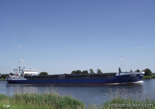
Find the position of the vessel GAHURA on the map. The latter are known coordinates and path.
marine traffic ship tracker show on live map
The current position of vessel GAHURA is 34.272341666667 lat / 35.653848333333 lng. Updated: 2025-09-12 23:15:14 UTCCurrently sailing under the flag of Panama
GAHURA built in 1992 year
Deadweight:
4175 tDetails:
Last coordinates of the vessel:
UTC, 34.272333333333, 35.653878333333, course: 294, speed: 0UTC, 34.272351666667, 35.653861666667, course: 294, speed: 0
UTC, 34.272353333333, 35.65386, course: 294, speed: 0
2025-09-12 23:15:14 UTC, 34.272341666667, 35.653848333333, course: 294, speed: 0