 vesseltracker.com
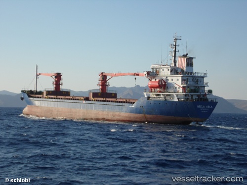
Find the position of the vessel ABLE on the map. The latter are known coordinates and path.
marine traffic ship tracker show on live map
The current position of vessel ABLE is 31.3764 lat / 30.0606 lng. Updated: 2025-02-22 17:26:13 UTCCurrently sailing under the flag of Palau (Republic of)
ABLE built in 1991 year
Deadweight:
7416 tPayload_mass:
7416 tonneGross tonnage:
4988Service entry:
1991-01-01T00:00:00ZDetails:
Last coordinates of the vessel:
UTC, 31.3765, 30.0612, course: 351, speed: 0.4UTC, 31.3766, 30.0611, course: 6, speed: 0.1
UTC, 31.3764, 30.061, course: 8, speed: 0.3
2025-02-22 17:26:13 UTC, 31.3764, 30.0606, course: 27, speed: 0.3