 vesseltracker.com
Live AIS position:
40.68550° N, 29.30966° E UTC. Near Gebze),
updated 2025-11-20 17:28:22 UTC.
Find the position of the vessel Charlotte Borchard on the map. The latter are known coordinates and path.
marine traffic ship tracker show on live map
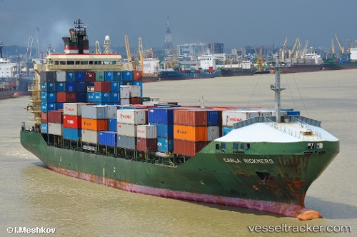
The current position of vessel Charlotte Borchard is 40.68550 lat / 29.30966 lng. Updated: 2025-11-20 17:28:22 UTCCurrently sailing under the flag of Marshall Is
Charlotte Borchard built in 2000 year
Deadweight:
15299 tDetails:
Last coordinates of the vessel:
UTC, 40.68566, 29.30968, course: 101, speed: 0.1UTC, 40.68567, 29.30988, course: 106, speed: 0.1
UTC, 40.68550, 29.30962, course: 93, speed: 0
2025-11-20 17:28:22 UTC, 40.68550, 29.30966, course: 93, speed: 0