 vesseltracker.com
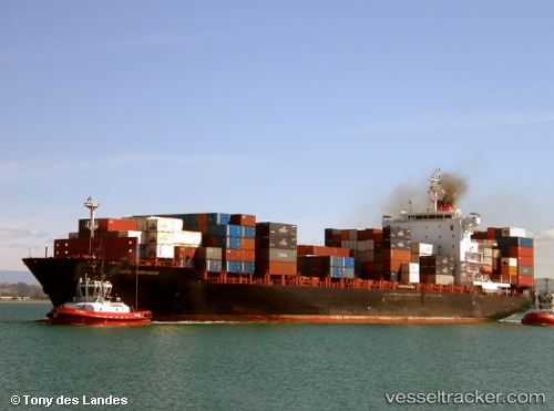
Find the position of the vessel Maersk Jabal on the map. The latter are known coordinates and path.
marine traffic ship tracker show on live map
The current position of vessel Maersk Jabal is 31.817623333333 lat / 34.588848333333 lng. Updated: 2025-10-06 00:26:15 UTCCurrently sailing under the flag of Singapore
Maersk Jabal built in 2008 year
Deadweight:
39479 tDetails:
Last coordinates of the vessel:
UTC, 31.817458333333, 34.588365, course: 338, speed: 0.1UTC, 31.817573333333, 34.588758333333, course: 325, speed: 0
UTC, 31.817501666667, 34.588616666667, course: 338, speed: 0.1
2025-10-06 00:26:15 UTC, 31.817623333333, 34.588848333333, course: 327, speed: 0