 vesseltracker.com
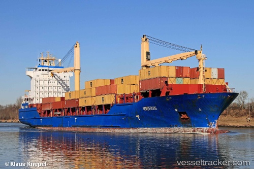
Find the position of the vessel MSC NORDEROOG F on the map. The latter are known coordinates and path.
marine traffic ship tracker show on live map
The current position of vessel MSC NORDEROOG F is 38.4481 lat / 15.9026 lng. Updated: 2025-05-11 12:15:34 UTCCurrently sailing under the flag of Liberia
MSC NORDEROOG F built in 2004 year
Port of registry:
Gibraltar (British overseas territory on the coast of Spain)Deadweight:
16921 tPayload_mass:
16921 tonneGross tonnage:
15633Beam:
25 metreService entry:
2004-01-01T00:00:00ZDetails:
Last coordinates of the vessel:
UTC, 38.4481, 15.9026, course: 198, speed: 0UTC, 38.4481, 15.9026, course: 198, speed: 0
UTC, 38.4481, 15.9026, course: 198, speed: 0
2025-05-11 12:15:34 UTC, 38.4481, 15.9026, course: 198, speed: 0