 vesseltracker.com
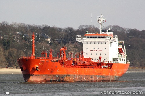
Find the position of the vessel K INSET on the map. The latter are known coordinates and path.
marine traffic ship tracker show on live map
The current position of vessel K INSET is 36.7553 lat / 5.14823 lng. Updated: 2025-05-31 08:36:17 UTCCurrently sailing under the flag of Liberia
K INSET built in 2005 year
Port of registry:
Majuro (capital of the Marshall Islands)Speed:
13.4 knotDeadweight:
12956 tPayload_mass:
12956 tonneGross tonnage:
8450Service entry:
2005-01-01T00:00:00ZDetails:
Last coordinates of the vessel:
UTC, 36.8873, 5.4011, course: 246, speed: 11.4UTC, 36.8382, 5.2236, course: 232, speed: 9.4
UTC, 36.7514, 5.14772, course: 324, speed: 1.1
2025-05-31 08:36:17 UTC, 36.7553, 5.14823, course: 250, speed: 2.6