 vesseltracker.com
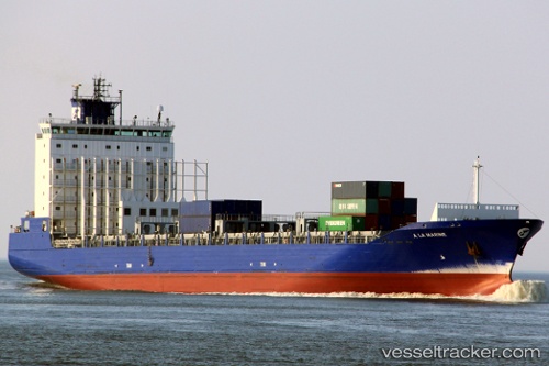
Find the position of the vessel A La Marine on the map. The latter are known coordinates and path.
marine traffic ship tracker show on live map
The current position of vessel A La Marine is 32.01502 lat / 28.19652 lng. Updated: 2025-10-27 08:11:45 UTCCurrently sailing under the flag of Belgium
Details:
Last coordinates of the vessel:
UTC, 31.64389, 28.93053, course: 300, speed: 13.1UTC, 31.71087, 28.80847, course: 300, speed: 13.1
UTC, 31.89307, 28.43745, course: 301, speed: 12.7
2025-10-27 08:11:45 UTC, 32.01502, 28.19652, course: 301, speed: 12.9