 vesseltracker.com
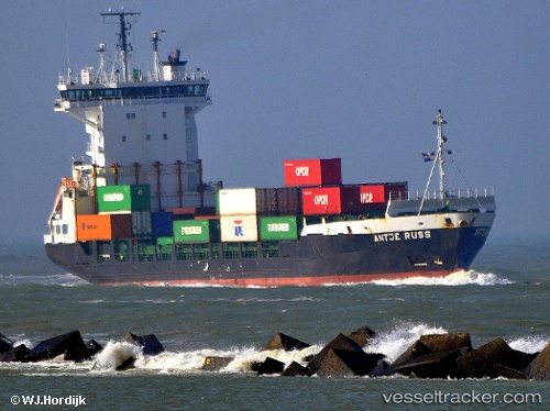
Vessel DEPE IMO: 9186405, MMSI: 636022044 Container Ship
UTC, 48.91026, -5.31686, course: 65, speed: 12.6
UTC, 49.08803, -4.79608, course: 68, speed: 13.7
2026-03-24 05:38:35 UTC, 49.26804, -4.31693, course: 61, speed: 14
Live Vessel DEPE Analytics (details, animations, etc.)
Live AIS position: UTC. Near Verzy), updated 2026-03-24 05:38:35 UTC.Find the position of the vessel DEPE on the map. The latter are known coordinates and path.
marine traffic ship tracker show on live map
The current position of vessel DEPE is 49.26804 lat / -4.31693 lng. Updated: 2026-03-24 05:38:35 UTCCurrently sailing under the flag of Liberia
DEPE built in 1998 year
Deadweight:
6862 tDetails:
Last coordinates of the vessel:
UTC, 48.62356, -5.74238, course: 32, speed: 11.6UTC, 48.91026, -5.31686, course: 65, speed: 12.6
UTC, 49.08803, -4.79608, course: 68, speed: 13.7
2026-03-24 05:38:35 UTC, 49.26804, -4.31693, course: 61, speed: 14