 vesseltracker.com
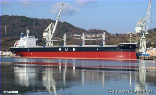
Vessel African Turaco IMO: 9701700, MMSI: 374270000 Bulk Carrier
UTC, 9.81396, 150.35126, course: 344, speed: 10.4
UTC, 10.16763, 150.24719, course: 348, speed: 8.5
2026-02-26 05:21:06 UTC, 10.42177, 150.17763, course: 343, speed: 8.8
Live AIS position:
UTC. 176 nm N of Pulap Island),
updated 2026-02-26 05:21:06 UTC.
Find the position of the vessel African Turaco on the map. The latter are known coordinates and path.
marine traffic ship tracker show on live map
The current position of vessel African Turaco is 10.42177 lat / 150.17763 lng. Updated: 2026-02-26 05:21:06 UTCDetails:
Last coordinates of the vessel:
UTC, 9.44443, 150.47939, course: 348, speed: 9.6UTC, 9.81396, 150.35126, course: 344, speed: 10.4
UTC, 10.16763, 150.24719, course: 348, speed: 8.5
2026-02-26 05:21:06 UTC, 10.42177, 150.17763, course: 343, speed: 8.8