 vesseltracker.com
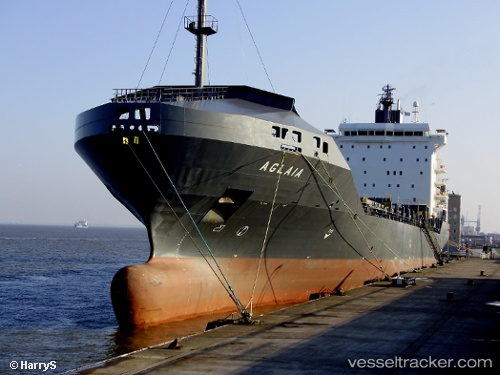
Vessel NEOKASTRO IMO: 9400215, MMSI: 636020345 Container Ship
UTC, -31.21947, 51.10923, course: 77, speed: 11.2
UTC, -31.09833, 51.63350, course: 77, speed: 11
2026-02-25 15:34:47 UTC, -31.04483, 51.86950, course: 77, speed: 11.5
Live AIS position:
UTC. Open sea, approx. 443 nm off the nearest listed port),
updated 2026-02-25 15:34:47 UTC.
Find the position of the vessel NEOKASTRO on the map. The latter are known coordinates and path.
marine traffic ship tracker show on live map
The current position of vessel NEOKASTRO is -31.04483 lat / 51.86950 lng. Updated: 2026-02-25 15:34:47 UTCCurrently sailing under the flag of Liberia
NEOKASTRO built in 2011 year
Deadweight:
52788 tDetails:
Last coordinates of the vessel:
UTC, -31.34008, 50.55759, course: 78, speed: 11.1UTC, -31.21947, 51.10923, course: 77, speed: 11.2
UTC, -31.09833, 51.63350, course: 77, speed: 11
2026-02-25 15:34:47 UTC, -31.04483, 51.86950, course: 77, speed: 11.5