 vesseltracker.com
Find the position of the vessel Al Reem i on the map. The latter are known coordinates and path.
marine traffic ship tracker show on live map
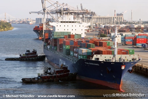
The current position of vessel Al Reem i is 24.8193 lat / 54.6664 lng. Updated: 2025-07-18 19:45:46 UTCCurrently sailing under the flag of UAE
Al Reem i built in 2006 year
Deadweight:
38686 tDetails:
Last coordinates of the vessel:
UTC, 24.8193, 54.6664, course: 231, speed: 0UTC, 24.8193, 54.6664, course: 231, speed: 0
UTC, 24.8193, 54.6664, course: 231, speed: 0
2025-07-18 19:45:46 UTC, 24.8193, 54.6664, course: 231, speed: 0