 vesseltracker.com
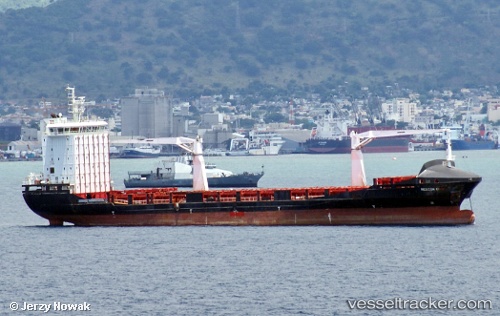
Find the position of the vessel Alexandra A on the map. The latter are known coordinates and path.
marine traffic ship tracker show on live map
The current position of vessel Alexandra A is 42.15892 lat / 41.61207 lng. Updated: 2025-10-26 18:00:50 UTCCurrently sailing under the flag of Malta
Alexandra A built in 2011 year
Deadweight:
12099 tDetails:
Last coordinates of the vessel:
UTC, 42.15919, 41.61353, course: 204, speed: 0.2UTC, 42.15909, 41.61347, course: 204, speed: 0.2
UTC, 42.15908, 41.61330, course: 198, speed: 0.1
2025-10-26 18:00:50 UTC, 42.15892, 41.61207, course: 127, speed: 0.2