 vesseltracker.com
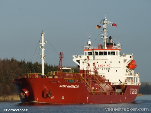
Find the position of the vessel B Gas Margrethe on the map. The latter are known coordinates and path.
marine traffic ship tracker show on live map
The current position of vessel B Gas Margrethe is 56.66480 lat / 7.66588 lng. Updated: 2025-11-03 18:29:40 UTCCurrently sailing under the flag of Malta
B Gas Margrethe built in 2006 year
Deadweight:
4970 tDetails:
Last coordinates of the vessel:
UTC, 56.15167, 7.03667, course: -1, speed: 13UTC, 56.35415, 7.32318, course: 30, speed: 13
UTC, 56.55488, 7.54416, course: 29, speed: 12.9
2025-11-03 18:29:40 UTC, 56.66480, 7.66588, course: 27, speed: 13.5