 vesseltracker.com
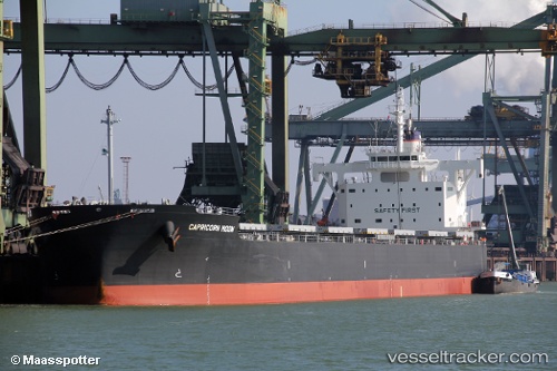
Vessel BADGER IMO: 9708980, MMSI: 636022249 Bulk Carrier
UTC, 39.24373, 25.66513, course: 189, speed: 10.6
UTC, 38.79333, 25.72500, course: -1, speed: 10
2026-02-14 08:17:17 UTC, 38.44710, 25.73454, course: 185, speed: 10.6
Live AIS position:
UTC. Near Volissos (Limnia) Chios),
updated 2026-02-14 08:17:17 UTC.
Find the position of the vessel BADGER on the map. The latter are known coordinates and path.
marine traffic ship tracker show on live map
The current position of vessel BADGER is 38.44710 lat / 25.73454 lng. Updated: 2026-02-14 08:17:17 UTCCurrently sailing under the flag of Liberia
BADGER built in 2015 year
Deadweight:
81828 tDetails:
Last coordinates of the vessel:
UTC, 39.56909, 25.72536, course: 187, speed: 10.7UTC, 39.24373, 25.66513, course: 189, speed: 10.6
UTC, 38.79333, 25.72500, course: -1, speed: 10
2026-02-14 08:17:17 UTC, 38.44710, 25.73454, course: 185, speed: 10.6