 vesseltracker.com
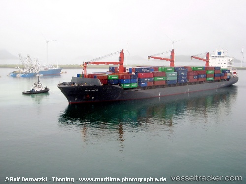
Vessel BERTIE IMO: 9241487, MMSI: 636020758 Container Ship
Live AIS position:
UTC. Near Saigon Petro Oil Terminal),
updated 2025-12-29 18:26:56 UTC.
Find the position of the vessel BERTIE on the map. The latter are known coordinates and path.
marine traffic ship tracker show on live map
The current position of vessel BERTIE is 10.75781 lat / 106.79088 lng. Updated: 2025-12-29 18:26:56 UTCCurrently sailing under the flag of Liberia
BERTIE built in 2003 year
Deadweight:
33853 tDetails:
Last coordinates of the vessel:
2025-12-29 18:26:56 UTC, 10.75781, 106.79088, course: 60, speed: 0