 vesseltracker.com
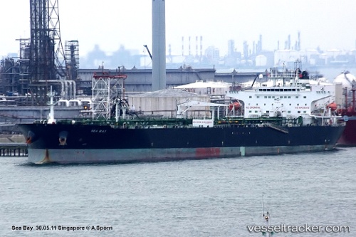
Vessel BOLU IMO: 9439539, MMSI: 636022767 Crude Oil Tanker
Live AIS position:
UTC. Near PENGERANG),
updated 2025-08-20 15:04:24 UTC.
Find the position of the vessel BOLU on the map. The latter are known coordinates and path.
marine traffic ship tracker show on live map
The current position of vessel BOLU is 1.26837 lat / 104.16341 lng. Updated: 2025-08-20 15:04:24 UTCCurrently sailing under the flag of Liberia
BOLU built in 2009 year
Deadweight:
108760 tDetails:
Last coordinates of the vessel:
2025-08-20 15:04:24 UTC, 1.26837, 104.16341, course: 86, speed: 10.4