 vesseltracker.com
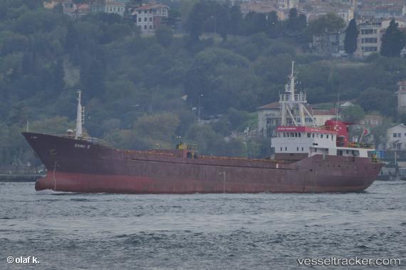
Vessel Banu S IMO: 8301060, MMSI: 271002040 General Cargo Ship
UTC, 40.97102, 28.88726, course: 42, speed: 0.1
UTC, 40.97136, 28.88721, course: 83, speed: 0.5
2026-02-10 10:07:25 UTC, 40.97112, 28.88731, course: 30, speed: 0.5
Live AIS position:
UTC. Near ZEYTINBURNU),
updated 2026-02-10 10:07:25 UTC.
Find the position of the vessel Banu S on the map. The latter are known coordinates and path.
marine traffic ship tracker show on live map
The current position of vessel Banu S is 40.97112 lat / 28.88731 lng. Updated: 2026-02-10 10:07:25 UTCCurrently sailing under the flag of Turkey
Details:
Last coordinates of the vessel:
UTC, 40.97107, 28.88732, course: 63, speed: 0.4UTC, 40.97102, 28.88726, course: 42, speed: 0.1
UTC, 40.97136, 28.88721, course: 83, speed: 0.5
2026-02-10 10:07:25 UTC, 40.97112, 28.88731, course: 30, speed: 0.5