 vesseltracker.com
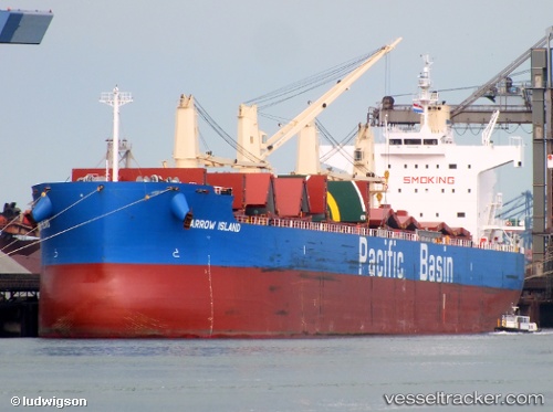
Vessel Barrow Island IMO: 9610743, MMSI: 477767900 Bulk Carrier
Live AIS position:
UTC. Near Isdemir),
updated 2025-10-17 11:42:27 UTC.
Find the position of the vessel Barrow Island on the map. The latter are known coordinates and path.
marine traffic ship tracker show on live map
The current position of vessel Barrow Island is 36.68892 lat / 36.18976 lng. Updated: 2025-10-17 11:42:27 UTCDetails:
Last coordinates of the vessel:
2025-10-17 11:42:27 UTC, 36.68892, 36.18976, course: 64, speed: 0