 vesseltracker.com
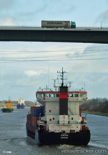
Vessel Canka IMO: 9103740, MMSI: 354562000 Multi Purpose Carrier
UTC, 40.96135, 28.67437, course: 260, speed: 0
UTC, 40.96133, 28.67437, course: 265, speed: 0
2026-02-08 10:31:28 UTC, 40.96133, 28.67434, course: 265, speed: 0
Live AIS position:
UTC. Near Ambarli),
updated 2026-02-08 10:31:28 UTC.
Find the position of the vessel Canka on the map. The latter are known coordinates and path.
marine traffic ship tracker show on live map
The current position of vessel Canka is 40.96133 lat / 28.67434 lng. Updated: 2026-02-08 10:31:28 UTCCurrently sailing under the flag of Panama
Canka built in 1995 year
Deadweight:
3285 tDetails:
Last coordinates of the vessel:
UTC, 40.96084, 28.67464, course: 282, speed: 1.1UTC, 40.96135, 28.67437, course: 260, speed: 0
UTC, 40.96133, 28.67437, course: 265, speed: 0
2026-02-08 10:31:28 UTC, 40.96133, 28.67434, course: 265, speed: 0