 vesseltracker.com
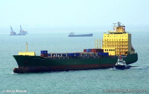
Find the position of the vessel Cape Flint on the map. The latter are known coordinates and path.
marine traffic ship tracker show on live map
The current position of vessel Cape Flint is 29.3754 lat / -94.8666 lng. Updated: 2025-06-03 22:41:44 UTCCurrently sailing under the flag of Marshall Is
Cape Flint built in 2006 year
Deadweight:
20312 tDetails:
Last coordinates of the vessel:
2025-06-03 22:41:44 UTC, 29.3754, -94.8666, course: 68, speed: 0