 vesseltracker.com
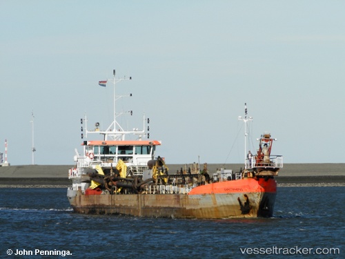
Vessel Christophorus IMO: 6809769, MMSI: 245121000 Hopper Dredger
Live AIS position:
UTC. Near PAPENDRECHT),
updated 2026-01-05 07:21:42 UTC.
Find the position of the vessel Christophorus on the map. The latter are known coordinates and path.
marine traffic ship tracker show on live map
The current position of vessel Christophorus is 51.81934 lat / 4.69731 lng. Updated: 2026-01-05 07:21:42 UTCCurrently sailing under the flag of Netherlands
Christophorus built in 1968 year
Deadweight:
1535 tDetails:
Last coordinates of the vessel:
2026-01-05 07:21:42 UTC, 51.81934, 4.69731, course: 131, speed: 0