 vesseltracker.com
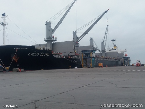
Vessel Cielo Di Iyo IMO: 9808340, MMSI: 372771000 Bulk Carrier
UTC, 13.90227, -90.81383, course: 198, speed: 0
UTC, 13.90195, -90.81317, course: 225, speed: 0.1
2026-01-31 02:01:43 UTC, 13.90228, -90.81450, course: 173, speed: 0.1
Live AIS position:
UTC. Near Puerto San José),
updated 2026-01-31 02:01:43 UTC.
Find the position of the vessel Cielo Di Iyo on the map. The latter are known coordinates and path.
marine traffic ship tracker show on live map
The current position of vessel Cielo Di Iyo is 13.90228 lat / -90.81450 lng. Updated: 2026-01-31 02:01:43 UTCCurrently sailing under the flag of Panama
Details:
Last coordinates of the vessel:
UTC, 13.90226, -90.81390, course: 194, speed: 0.1UTC, 13.90227, -90.81383, course: 198, speed: 0
UTC, 13.90195, -90.81317, course: 225, speed: 0.1
2026-01-31 02:01:43 UTC, 13.90228, -90.81450, course: 173, speed: 0.1