 vesseltracker.com
Find the position of the vessel ERDER on the map. The latter are known coordinates and path.
marine traffic ship tracker show on live map
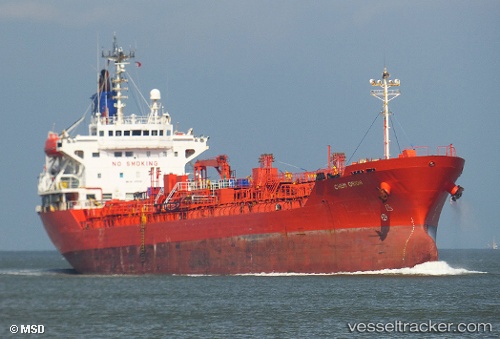
The current position of vessel ERDER is 44.02333 lat / -6.85167 lng. Updated: 2025-11-06 03:41:14 UTCCurrently sailing under the flag of Turkey
ERDER built in 1998 year
Deadweight:
10307 tDetails:
Last coordinates of the vessel:
UTC, 44.07302, -7.56034, course: 90, speed: 9.7UTC, 44.05846, -7.22060, course: 98, speed: 10.8
UTC, 44.03500, -6.98167, course: -1, speed: 10
2025-11-06 03:41:14 UTC, 44.02333, -6.85167, course: -1, speed: 10
Track of the vessel in the last 14 days
The ship also appears on the maps: