 vesseltracker.com
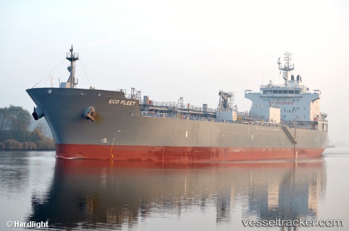
Vessel Eco Fleet IMO: 9717503, MMSI: 538005893 Chemical Oil Products Tanker
Live AIS position:
UTC. 82 nm SE of Edberg),
updated 2025-11-02 22:38:06 UTC.
Find the position of the vessel Eco Fleet on the map. The latter are known coordinates and path.
marine traffic ship tracker show on live map
The current position of vessel Eco Fleet is 51.77372 lat / 114.27771 lng. Updated: 2025-11-02 22:38:06 UTCCurrently sailing under the flag of Marshall Is
Details:
Last coordinates of the vessel:
2025-11-02 22:38:06 UTC, 51.77372, 114.27771, course: 222, speed: 10.9