 vesseltracker.com
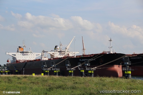
Vessel Elandra Eagle IMO: 9792474, MMSI: 538007153 Crude Oil Tanker
UTC, 21.92066, 122.19424, course: 19, speed: 11.2
UTC, 21.92066, 122.19424, course: 19, speed: 11.2
2026-02-10 12:14:19 UTC, 22.47004, 122.36867, course: 23, speed: 12.1
Live AIS position:
UTC. 99 nm SE of Hua-Lien Kang),
updated 2026-02-10 12:14:19 UTC.
Find the position of the vessel Elandra Eagle on the map. The latter are known coordinates and path.
marine traffic ship tracker show on live map
The current position of vessel Elandra Eagle is 22.47004 lat / 122.36867 lng. Updated: 2026-02-10 12:14:19 UTCDetails:
Last coordinates of the vessel:
UTC, 21.61035, 122.11986, course: 25, speed: 10.9UTC, 21.92066, 122.19424, course: 19, speed: 11.2
UTC, 21.92066, 122.19424, course: 19, speed: 11.2
2026-02-10 12:14:19 UTC, 22.47004, 122.36867, course: 23, speed: 12.1