 vesseltracker.com
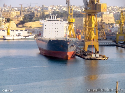
Find the position of the vessel EMMA A on the map. The latter are known coordinates and path.
marine traffic ship tracker show on live map
The current position of vessel EMMA A is 37.5516 lat / -37.6069 lng. Updated: 2025-08-08 07:00:47 UTCCurrently sailing under the flag of Malta
EMMA A built in 2007 year
Deadweight:
38547 tDetails:
Last coordinates of the vessel:
UTC, 37.6177, -36.7722, course: 267, speed: 13.3UTC, 37.604, -36.9896, course: 265, speed: 13.3
UTC, 37.569, -37.4057, course: 264, speed: 13.1
2025-08-08 07:00:47 UTC, 37.5516, -37.6069, course: 265, speed: 13.1