 vesseltracker.com
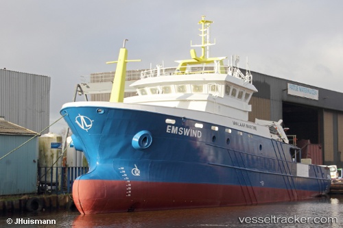
Vessel Ems Wind IMO: 9824540, MMSI: 311000812 Utility Vessel
UTC, 54.08833, 6.14167, course: -1, speed: 0
UTC, 54.08500, 6.15667, course: -1, speed: 0
2026-02-01 13:28:05 UTC, 54.09068, 6.16225, course: 111, speed: 0.2
Live AIS position:
UTC. 23 nm N of Town Quays/Drogheda),
updated 2026-02-01 13:28:05 UTC.
Find the position of the vessel Ems Wind on the map. The latter are known coordinates and path.
marine traffic ship tracker show on live map
The current position of vessel Ems Wind is 54.09068 lat / 6.16225 lng. Updated: 2026-02-01 13:28:05 UTCCurrently sailing under the flag of Bahamas
Details:
Last coordinates of the vessel:
UTC, 54.08849, 6.18327, course: 265, speed: 2.6UTC, 54.08833, 6.14167, course: -1, speed: 0
UTC, 54.08500, 6.15667, course: -1, speed: 0
2026-02-01 13:28:05 UTC, 54.09068, 6.16225, course: 111, speed: 0.2