 vesseltracker.com
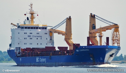
Vessel Erik IMO: 9435105, MMSI: 305161000 Heavy Load Carrier
UTC, 36.09816, 120.25513, course: 324, speed: 0
UTC, 36.09896, 120.25310, course: 72, speed: 0.4
2026-03-09 19:59:19 UTC, 36.10045, 120.25423, course: 167, speed: 0
Live Vessel Erik Analytics (details, animations, etc.)
Live AIS position: UTC. Near Qingdao), updated 2026-03-09 19:59:19 UTC.Find the position of the vessel Erik on the map. The latter are known coordinates and path.
marine traffic ship tracker show on live map
The current position of vessel Erik is 36.10045 lat / 120.25423 lng. Updated: 2026-03-09 19:59:19 UTCCurrently sailing under the flag of Antigua Barbuda
Erik built in 2008 year
Deadweight:
12763 tDetails:
Last coordinates of the vessel:
UTC, 36.09809, 120.25378, course: 26, speed: 0UTC, 36.09816, 120.25513, course: 324, speed: 0
UTC, 36.09896, 120.25310, course: 72, speed: 0.4
2026-03-09 19:59:19 UTC, 36.10045, 120.25423, course: 167, speed: 0