 vesseltracker.com
Find the position of the vessel Geir Tore H on the map. The latter are known coordinates and path.
marine traffic ship tracker show on live map
The current position of vessel Geir Tore H is 68.79579 lat / 16.54488 lng. Updated: 2025-11-17 01:21:27 UTCCurrently sailing under the flag of Norway
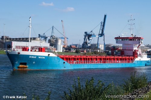
Geir Tore H built in 2010 year
Deadweight:
2803 tDetails:
Last coordinates of the vessel:
UTC, 68.79581, 16.54488, course: -1, speed: 0UTC, 68.79577, 16.54487, course: -1, speed: 0
UTC, 68.79578, 16.54493, course: -1, speed: 0
2025-11-17 01:21:27 UTC, 68.79579, 16.54488, course: -1, speed: 0