 vesseltracker.com
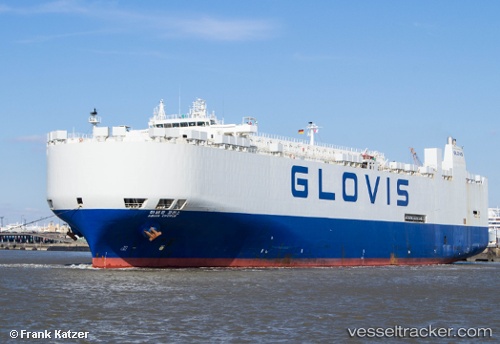
Vessel Glovis Chorus IMO: 9158604, MMSI: 440292000 Vehicles Carrier
UTC, 17.24734, -142.26288, course: 263, speed: 18
UTC, 17.23310, -142.41171, course: 265, speed: 18.2
UTC, 17.07708, -143.80785, course: 265, speed: 18.1
2026-01-24 00:16:21 UTC, 17.01612, -144.37801, course: 265, speed: 18
Live AIS position:
UTC. 219 nm N of Santa Rita),
updated 2026-01-24 00:16:21 UTC.
Find the position of the vessel Glovis Chorus on the map. The latter are known coordinates and path.
marine traffic ship tracker show on live map
The current position of vessel Glovis Chorus is 17.01612 lat / -144.37801 lng. Updated: 2026-01-24 00:16:21 UTCCurrently sailing under the flag of Korea
Glovis Chorus built in 1997 year
Deadweight:
21505 tDetails:
Last coordinates of the vessel:
UTC, 17.27470, -141.99210, course: 264, speed: 17.8UTC, 17.24734, -142.26288, course: 263, speed: 18
UTC, 17.23310, -142.41171, course: 265, speed: 18.2
UTC, 17.07708, -143.80785, course: 265, speed: 18.1
2026-01-24 00:16:21 UTC, 17.01612, -144.37801, course: 265, speed: 18