 vesseltracker.com
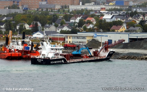
Find the position of the vessel Helene H on the map. The latter are known coordinates and path.
marine traffic ship tracker show on live map
The current position of vessel Helene H is 67.63074 lat / 14.62373 lng. Updated: 2025-10-30 17:36:42 UTCCurrently sailing under the flag of Norway
Helene H built in 2013 year
Deadweight:
2396 tDetails:
Last coordinates of the vessel:
UTC, 67.84459, 14.65524, course: 231, speed: 4.9UTC, 67.70729, 14.51557, course: 181, speed: 4.9
UTC, 67.63325, 14.54982, course: 103, speed: 4.6
2025-10-30 17:36:42 UTC, 67.63074, 14.62373, course: 95, speed: 5.2