 vesseltracker.com
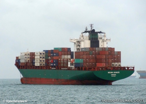
Vessel Hope Island IMO: 9263320, MMSI: 538006207 Container Ship
UTC, 25.02855, 51.60177, course: 166, speed: 0
UTC, 25.02863, 51.60166, course: 166, speed: 0
2026-02-07 22:02:34 UTC, 25.02859, 51.60184, course: 167, speed: 0.1
Live AIS position:
UTC. Near BGN/PCGN1956 - HAMAD),
updated 2026-02-07 22:02:34 UTC.
Find the position of the vessel Hope Island on the map. The latter are known coordinates and path.
marine traffic ship tracker show on live map
The current position of vessel Hope Island is 25.02859 lat / 51.60184 lng. Updated: 2026-02-07 22:02:34 UTCCurrently sailing under the flag of Marshall Is
Hope Island built in 2006 year
Deadweight:
42106 tDetails:
Last coordinates of the vessel:
UTC, 25.02869, 51.60184, course: 166, speed: 0.1UTC, 25.02855, 51.60177, course: 166, speed: 0
UTC, 25.02863, 51.60166, course: 166, speed: 0
2026-02-07 22:02:34 UTC, 25.02859, 51.60184, course: 167, speed: 0.1