 vesseltracker.com
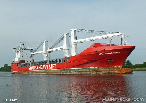
Vessel PLANTIJNGRACHT IMO: 9424572, MMSI: 244750595 General Cargo Ship
UTC, -45.26500, 173.68832, course: -1, speed: 14
UTC, -44.89667, 173.64833, course: -1, speed: 15
2026-02-25 17:44:52 UTC, -44.35253, 173.57983, course: 351, speed: 15.1
Live AIS position:
UTC. 43 nm SE of Akaroa),
updated 2026-02-25 17:44:52 UTC.
Find the position of the vessel PLANTIJNGRACHT on the map. The latter are known coordinates and path.
marine traffic ship tracker show on live map
The current position of vessel PLANTIJNGRACHT is -44.35253 lat / 173.57983 lng. Updated: 2026-02-25 17:44:52 UTCCurrently sailing under the flag of Netherlands
PLANTIJNGRACHT built in 2010 year
Deadweight:
19347 tDetails:
Last coordinates of the vessel:
UTC, -45.71372, 173.72696, course: 356, speed: 13.4UTC, -45.26500, 173.68832, course: -1, speed: 14
UTC, -44.89667, 173.64833, course: -1, speed: 15
2026-02-25 17:44:52 UTC, -44.35253, 173.57983, course: 351, speed: 15.1