 vesseltracker.com
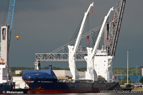
Vessel Industrial Ruby IMO: 9277292, MMSI: 636092314 Multi Purpose Carrier
UTC, 25.92572, 51.60080, course: -1, speed: 0
UTC, 25.92562, 51.60080, course: -1, speed: 0
2026-02-27 11:44:36 UTC, 25.92565, 51.60083, course: -1, speed: 0.1
Live AIS position:
UTC. Near RAS LAFFAN),
updated 2026-02-27 11:44:36 UTC.
Find the position of the vessel Industrial Ruby on the map. The latter are known coordinates and path.
marine traffic ship tracker show on live map
The current position of vessel Industrial Ruby is 25.92565 lat / 51.60083 lng. Updated: 2026-02-27 11:44:36 UTCDetails:
Last coordinates of the vessel:
UTC, 25.92586, 51.60076, course: -1, speed: 0UTC, 25.92572, 51.60080, course: -1, speed: 0
UTC, 25.92562, 51.60080, course: -1, speed: 0
2026-02-27 11:44:36 UTC, 25.92565, 51.60083, course: -1, speed: 0.1