 vesseltracker.com
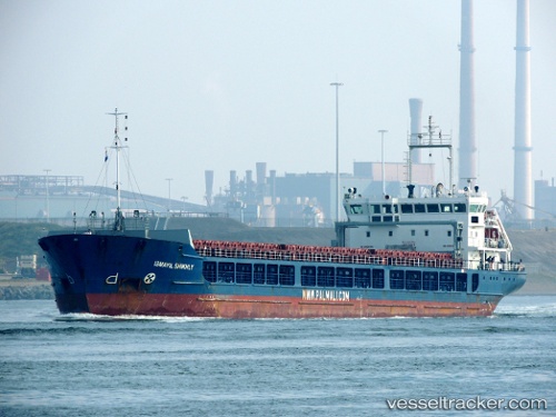
Vessel LOIRE RIVER IMO: 9368584, MMSI: 353729000 General Cargo Ship
UTC, 35.85390, -0.30288, course: -1, speed: 0
UTC, 35.85390, -0.30288, course: -1, speed: 0
2026-03-16 22:14:05 UTC, 35.85390, -0.30288, course: -1, speed: 0
Live Vessel LOIRE RIVER Analytics (details, animations, etc.)
Live AIS position: UTC. Near Arzew), updated 2026-03-16 22:14:05 UTC.Find the position of the vessel LOIRE RIVER on the map. The latter are known coordinates and path.
marine traffic ship tracker show on live map
The current position of vessel LOIRE RIVER is 35.85390 lat / -0.30288 lng. Updated: 2026-03-16 22:14:05 UTCCurrently sailing under the flag of Panama
LOIRE RIVER built in 2007 year
Deadweight:
6354 tDetails:
Last coordinates of the vessel:
UTC, 35.85391, -0.30289, course: -1, speed: 0UTC, 35.85390, -0.30288, course: -1, speed: 0
UTC, 35.85390, -0.30288, course: -1, speed: 0
2026-03-16 22:14:05 UTC, 35.85390, -0.30288, course: -1, speed: 0