 vesseltracker.com
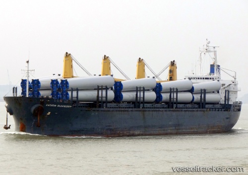
Find the position of the vessel DEMA M on the map. The latter are known coordinates and path.
marine traffic ship tracker show on live map
The current position of vessel DEMA M is 41.901 lat / 29.0545 lng. Updated: 2024-04-27 00:16:18 UTCCurrently sailing under the flag of Liberia
DEMA M built in 2003 year
Deadweight:
32259 tPayload_mass:
32259 tonneGross tonnage:
19883Service entry:
2003-01-01T00:00:00ZDetails:
Last coordinates of the vessel:
UTC, 42.6324, 28.9744, course: 176, speed: 12.8UTC, 42.4313, 28.9919, course: 172, speed: 12.8
UTC, 42.1127, 29.0276, course: 173, speed: 12.1
2024-04-27 00:16:18 UTC, 41.901, 29.0545, course: 174, speed: 11.8