 vesseltracker.com
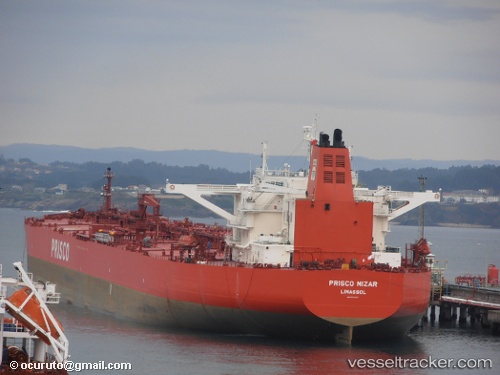
Vessel KINYRAS IMO: 9320714, MMSI: 636022179 Crude Oil Tanker
UTC, 35.63467, 18.43272, course: 285, speed: 12.5
UTC, 35.63467, 18.43272, course: 285, speed: 12.5
2026-03-22 18:42:11 UTC, 35.63467, 18.43272, course: 285, speed: 12.5
Live Vessel KINYRAS Analytics (details, animations, etc.)
Live AIS position: UTC. 89 nm E of Ryuo), updated 2026-03-22 18:42:11 UTC.Find the position of the vessel KINYRAS on the map. The latter are known coordinates and path.
marine traffic ship tracker show on live map
The current position of vessel KINYRAS is 35.63467 lat / 18.43272 lng. Updated: 2026-03-22 18:42:11 UTCCurrently sailing under the flag of Liberia
KINYRAS built in 2007 year
Deadweight:
166468 tDetails:
Last coordinates of the vessel:
UTC, 35.57262, 18.71411, course: 285, speed: 12.3UTC, 35.63467, 18.43272, course: 285, speed: 12.5
UTC, 35.63467, 18.43272, course: 285, speed: 12.5
2026-03-22 18:42:11 UTC, 35.63467, 18.43272, course: 285, speed: 12.5