 vesseltracker.com
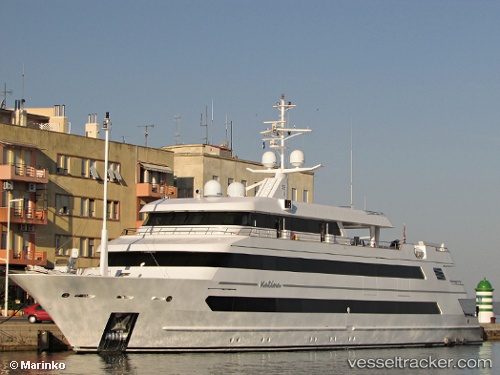
Find the position of the vessel Katina on the map. The latter are known coordinates and path.
marine traffic ship tracker show on live map
The current position of vessel Katina is 43.509943333333 lat / 16.246675 lng. Updated: 2025-10-19 09:59:40 UTCCurrently sailing under the flag of Marshall Is
Details:
Last coordinates of the vessel:
UTC, 43.50995, 16.246676666667, course: 129, speed: 0UTC, 43.50995, 16.24668, course: 129, speed: 0
UTC, 43.509945, 16.246676666667, course: 129, speed: 0
2025-10-19 09:59:40 UTC, 43.509943333333, 16.246675, course: 128, speed: 0