 vesseltracker.com
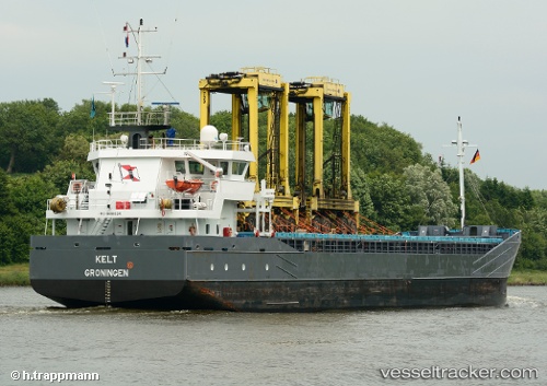
Vessel Kelt IMO: 9489534, MMSI: 246594000 General Cargo Ship
2026-01-22 06:36:18 UTC, 43.36036, -8.39388, course: 132, speed: 0.3
Live AIS position:
UTC. Near La Coruna ),
updated 2026-01-22 06:36:18 UTC.
Find the position of the vessel Kelt on the map. The latter are known coordinates and path.
marine traffic ship tracker show on live map
The current position of vessel Kelt is 43.36036 lat / -8.39388 lng. Updated: 2026-01-22 06:36:18 UTCCurrently sailing under the flag of Netherlands
Kelt built in 2009 year
Deadweight:
3750 tDetails:
Last coordinates of the vessel:
UTC, 43.36037, -8.39390, course: 130, speed: 0.12026-01-22 06:36:18 UTC, 43.36036, -8.39388, course: 132, speed: 0.3