 vesseltracker.com
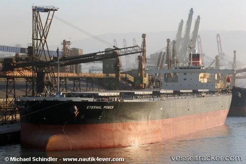
Vessel LEYA IMO: 9272864, MMSI: 636021604 Bulk Carrier
UTC, 25.72950, 53.09358, course: 66, speed: 8.7
UTC, 25.77286, 53.33931, course: 76, speed: 9.1
2026-03-04 18:15:31 UTC, 25.84212, 53.73682, course: -1, speed: 9.3
Live Vessel LEYA Analytics (details, animations, etc.)
Live AIS position: UTC. 26 nm NE of Mirfa), updated 2026-03-04 18:15:31 UTC.Find the position of the vessel LEYA on the map. The latter are known coordinates and path.
marine traffic ship tracker show on live map
The current position of vessel LEYA is 25.84212 lat / 53.73682 lng. Updated: 2026-03-04 18:15:31 UTCCurrently sailing under the flag of Liberia
LEYA built in 2004 year
Deadweight:
97045 tDetails:
Last coordinates of the vessel:
UTC, 25.75500, 52.53667, course: -1, speed: 8UTC, 25.72950, 53.09358, course: 66, speed: 8.7
UTC, 25.77286, 53.33931, course: 76, speed: 9.1
2026-03-04 18:15:31 UTC, 25.84212, 53.73682, course: -1, speed: 9.3