 vesseltracker.com
Find the position of the vessel MSC NORDEROOG F on the map. The latter are known coordinates and path.
marine traffic ship tracker show on live map
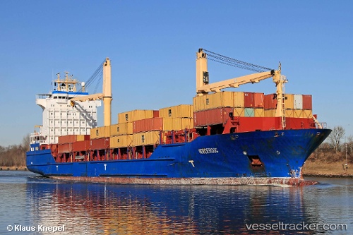
The current position of vessel MSC NORDEROOG F is 26.52788 lat / -78.76577 lng. Updated: 2025-11-02 12:36:29 UTCCurrently sailing under the flag of Liberia
MSC NORDEROOG F built in 2004 year
Deadweight:
16921 tDetails:
Last coordinates of the vessel:
UTC, 26.52788, -78.76574, course: 219, speed: 0UTC, 26.52790, -78.76578, course: 220, speed: 0.3
UTC, 26.52788, -78.76577, course: 220, speed: 0
2025-11-02 12:36:29 UTC, 26.52788, -78.76577, course: 220, speed: 0.1