 vesseltracker.com
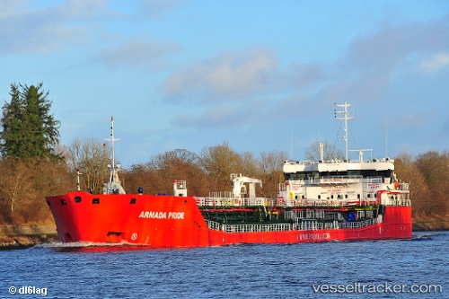
Vessel MUSTAFA NECATI IMO: 9736690, MMSI: 636020407 Chemical/Oil Products Tanker
UTC, 44.50899, 37.98228, course: 353, speed: 7.7
UTC, 44.34776, 37.47782, course: 140, speed: 1.4
2026-02-22 08:28:54 UTC, 44.32772, 37.42166, course: 147, speed: 1.3
Live AIS position:
UTC. 23 nm SW of Cpc Terminal),
updated 2026-02-22 08:28:54 UTC.
Find the position of the vessel MUSTAFA NECATI on the map. The latter are known coordinates and path.
marine traffic ship tracker show on live map
The current position of vessel MUSTAFA NECATI is 44.32772 lat / 37.42166 lng. Updated: 2026-02-22 08:28:54 UTCCurrently sailing under the flag of Liberia
MUSTAFA NECATI built in 2015 year
Deadweight:
7162 tDetails:
Last coordinates of the vessel:
UTC, 44.09890, 37.13504, course: 64, speed: 5.5UTC, 44.50899, 37.98228, course: 353, speed: 7.7
UTC, 44.34776, 37.47782, course: 140, speed: 1.4
2026-02-22 08:28:54 UTC, 44.32772, 37.42166, course: 147, speed: 1.3