 vesseltracker.com
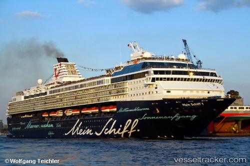
Vessel Marella Explorer IMO: 9106297, MMSI: 249051000 Cruise Ship
UTC, 15.59560, -61.83052, course: 340, speed: 12
UTC, 15.92810, -61.98528, course: 335, speed: 13.1
2026-03-02 17:49:06 UTC, 16.23988, -62.09537, course: 347, speed: 12.8
Live AIS position:
UTC. 18 nm W of Pointe-Noire),
updated 2026-03-02 17:49:06 UTC.
Find the position of the vessel Marella Explorer on the map. The latter are known coordinates and path.
marine traffic ship tracker show on live map
The current position of vessel Marella Explorer is 16.23988 lat / -62.09537 lng. Updated: 2026-03-02 17:49:06 UTCCurrently sailing under the flag of Malta
Marella Explorer built in 1996 year
Deadweight:
6500 tDetails:
Last coordinates of the vessel:
UTC, 15.06482, -61.62012, course: 349, speed: 12.6UTC, 15.59560, -61.83052, course: 340, speed: 12
UTC, 15.92810, -61.98528, course: 335, speed: 13.1
2026-03-02 17:49:06 UTC, 16.23988, -62.09537, course: 347, speed: 12.8