 vesseltracker.com
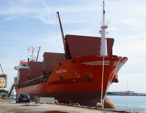
Vessel Mira Akay IMO: 9045663, MMSI: 271000766 General Cargo Ship
UTC, 40.04463, 26.24302, course: 236, speed: 12.1
UTC, 39.98948, 25.94615, course: 235, speed: 10.6
2026-02-09 13:31:21 UTC, 39.67268, 25.70302, course: 206, speed: 11
Live AIS position:
UTC. 19 nm SW of Bozcaada),
updated 2026-02-09 13:31:21 UTC.
Find the position of the vessel Mira Akay on the map. The latter are known coordinates and path.
marine traffic ship tracker show on live map
The current position of vessel Mira Akay is 39.67268 lat / 25.70302 lng. Updated: 2026-02-09 13:31:21 UTCCurrently sailing under the flag of Turkey
Mira Akay built in 2004 year
Deadweight:
6304 tDetails:
Last coordinates of the vessel:
UTC, 40.40202, 26.68873, course: 223, speed: 11.7UTC, 40.04463, 26.24302, course: 236, speed: 12.1
UTC, 39.98948, 25.94615, course: 235, speed: 10.6
2026-02-09 13:31:21 UTC, 39.67268, 25.70302, course: 206, speed: 11