 vesseltracker.com
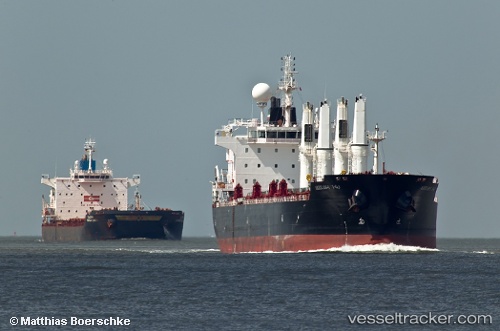
Vessel Mv Arrilah I IMO: 9522934, MMSI: 636014927 Bulk Carrier
UTC, 22.28906, 145.04495, course: 340, speed: 11.3
UTC, 22.67869, 144.89447, course: 340, speed: 11.7
2026-02-20 15:50:50 UTC, 22.96538, 144.79199, course: 335, speed: 11.2
Live AIS position:
UTC. 285 nm SE of Omura),
updated 2026-02-20 15:50:50 UTC.
Find the position of the vessel Mv Arrilah I on the map. The latter are known coordinates and path.
marine traffic ship tracker show on live map
The current position of vessel Mv Arrilah I is 22.96538 lat / 144.79199 lng. Updated: 2026-02-20 15:50:50 UTCDetails:
Last coordinates of the vessel:
UTC, 21.91535, 145.18938, course: 337, speed: 11UTC, 22.28906, 145.04495, course: 340, speed: 11.3
UTC, 22.67869, 144.89447, course: 340, speed: 11.7
2026-02-20 15:50:50 UTC, 22.96538, 144.79199, course: 335, speed: 11.2