 vesseltracker.com
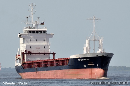
Vessel NORVAAG IMO: 9135743, MMSI: 257870000 General Cargo Ship
UTC, 60.79308, 4.52678, course: 155, speed: 7.7
UTC, 60.48563, 4.72389, course: 167, speed: 8.6
2026-02-14 03:26:14 UTC, 60.31058, 4.80928, course: 169, speed: 8.7
Live AIS position:
UTC. Near Tælavåg),
updated 2026-02-14 03:26:14 UTC.
Find the position of the vessel NORVAAG on the map. The latter are known coordinates and path.
marine traffic ship tracker show on live map
The current position of vessel NORVAAG is 60.31058 lat / 4.80928 lng. Updated: 2026-02-14 03:26:14 UTCCurrently sailing under the flag of Norway (NIS)
NORVAAG built in 1997 year
Deadweight:
4211 tDetails:
Last coordinates of the vessel:
UTC, 61.00146, 4.43204, course: 179, speed: 10.3UTC, 60.79308, 4.52678, course: 155, speed: 7.7
UTC, 60.48563, 4.72389, course: 167, speed: 8.6
2026-02-14 03:26:14 UTC, 60.31058, 4.80928, course: 169, speed: 8.7