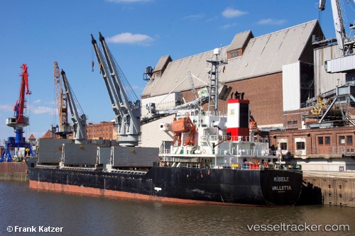
 vesseltracker.com
Find the position of the vessel Leader M on the map. The latter are known coordinates and path.
marine traffic ship tracker show on live map
The current position of vessel Leader M is 40.9412 lat / 28.8675 lng. Updated: 2024-04-26 15:30:02 UTCCurrently sailing under the flag of Barbados
Port of registry:
Batumi (second largest city of Georgia)Speed:
13.3 knotGross tonnage:
7265Service entry:
2000-01-01T00:00:00ZDetails:
Last coordinates of the vessel:
UTC, 40.9415, 28.868, course: 77, speed: 0UTC, 40.9413, 28.8675, course: 79, speed: 0
UTC, 40.9413, 28.8675, course: 79, speed: 0
2024-04-26 15:30:02 UTC, 40.9412, 28.8675, course: 77, speed: 0
Track of the vessel in the last 14 days
The ship also appears on the maps: