 vesseltracker.com
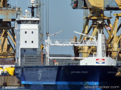
Vessel Northern Rock IMO: 9728887, MMSI: 244850087 General Cargo Ship
UTC, 51.13850, 1.59002, course: 228, speed: 10
UTC, 50.83453, 1.00055, course: 231, speed: 11.7
2026-02-13 11:30:15 UTC, 50.69278, 0.68465, course: 235, speed: 12.6
Live AIS position:
UTC. 10 nm SE of Saint Leonards-on-Sea),
updated 2026-02-13 11:30:15 UTC.
Find the position of the vessel Northern Rock on the map. The latter are known coordinates and path.
marine traffic ship tracker show on live map
The current position of vessel Northern Rock is 50.69278 lat / 0.68465 lng. Updated: 2026-02-13 11:30:15 UTCCurrently sailing under the flag of Netherlands
Details:
Last coordinates of the vessel:
UTC, 51.37522, 1.87692, course: 207, speed: 12UTC, 51.13850, 1.59002, course: 228, speed: 10
UTC, 50.83453, 1.00055, course: 231, speed: 11.7
2026-02-13 11:30:15 UTC, 50.69278, 0.68465, course: 235, speed: 12.6