 vesseltracker.com
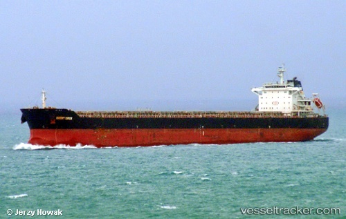
Vessel ORIENT U IMO: 9469493, MMSI: 636021863 Bulk Carrier
UTC, 11.36833, 81.79333, course: -1, speed: 4
UTC, 11.41333, 81.76167, course: -1, speed: 4
2026-02-06 23:50:00 UTC, 11.59833, 81.64167, course: -1, speed: 4
Live AIS position:
UTC. 109 nm E of Pondicherry),
updated 2026-02-06 23:50:00 UTC.
Find the position of the vessel ORIENT U on the map. The latter are known coordinates and path.
marine traffic ship tracker show on live map
The current position of vessel ORIENT U is 11.59833 lat / 81.64167 lng. Updated: 2026-02-06 23:50:00 UTCCurrently sailing under the flag of Liberia
ORIENT U built in 2011 year
Deadweight:
79754 tDetails:
Last coordinates of the vessel:
UTC, 11.21167, 81.90500, course: -1, speed: 4UTC, 11.36833, 81.79333, course: -1, speed: 4
UTC, 11.41333, 81.76167, course: -1, speed: 4
2026-02-06 23:50:00 UTC, 11.59833, 81.64167, course: -1, speed: 4