 vesseltracker.com
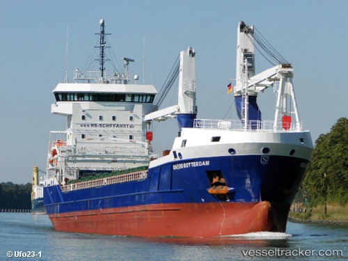
Vessel Onego Rotterdam IMO: 9631345, MMSI: 305961000 General Cargo Ship
Live AIS position:
UTC. Near Gdansk),
updated 2026-01-21 20:28:10 UTC.
Find the position of the vessel Onego Rotterdam on the map. The latter are known coordinates and path.
marine traffic ship tracker show on live map
The current position of vessel Onego Rotterdam is 54.36427 lat / 18.65102 lng. Updated: 2026-01-21 20:28:10 UTCDetails:
Last coordinates of the vessel:
2026-01-21 20:28:10 UTC, 54.36427, 18.65102, course: 330, speed: 0